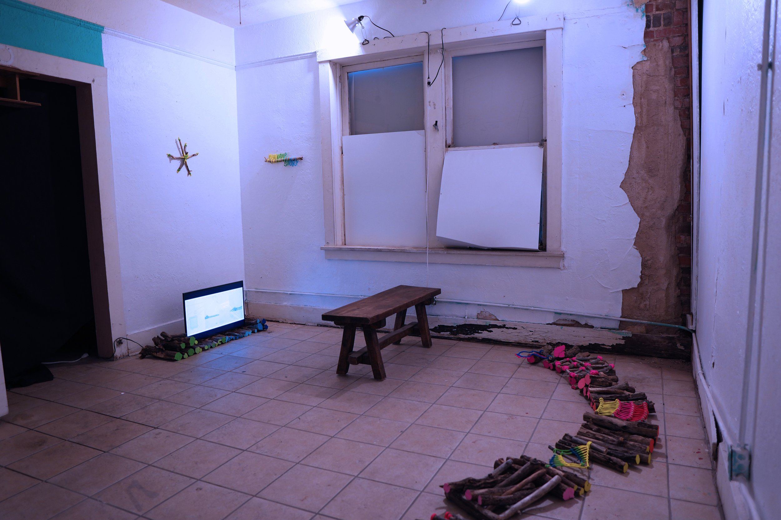
A build-out of an animated map I created for Bloomberg's CityLab in 2019, representing the historic meanders or moving border of the Rio Grande/ Río Bravo from 1848 through 1968.
Through a combination of looped animations, archival images, performances, collaborations, sculptural drawings and dimensional list of all the historic names of the river, I am planning to continue developing this project as an immersive map. The installation will include a new iteration of the animated meander map that l authored in 2019, but revised to include alternate "meanders" contributed by friends from the region-visually telling their story of lived experience of crossing the River.
This ongoing project combines counter-narrative with counter-cartography and creates deeper connections between the agency of rivers and people.
The idea of making a meander map was prompted when Bloomberg's City Lab editor Laura Bliss @mslaurabliss approached me in 2019 about writing about a map that had inspired my work. I immediately thought of Harold Fisk's nineteen maps of the historic alluvial flows of the Mississippi. Each map carries layers of time and activity-or animations but fixed in place.
And the second iteration, a short film in collaboration with Celina Galicia @celizard, Ingrid Leyva @ingridlv, and Sonia Rayka @fakerayka, was commissioned by @alabamacontemporary in 2023 for an exhibition about Boundary Waters curated by Betsy Hawley @elizabeth_s_hawley


